Towns

Eagar Arizona
Eagar Arizona: A close-knit community in the White Mountains. Enjoy local events & nature's allure in this Arizona highland gem!

Heber Overgaard Arizona
Heber Overgaard Arizona: Nestled below the Mogollon Rim amidst towering Ponderosa pines. A serene mountain escape in the White Mountains with small town charm.
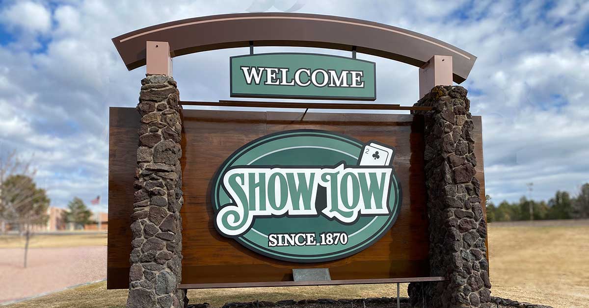
Show Low Arizona: A Gem in the White Mountains
Show Low Arizona: Discover the tale behind its name in the White Mountains. Enjoy vibrant community life & Arizona's scenic mountain escape!

Holbrook Arizona
Holbrook, AZ: A Route 66 jewel with Wild West roots. Visit Petrified Forest, Navajo Museum & local shops. Dive into Arizona's unique adventures!
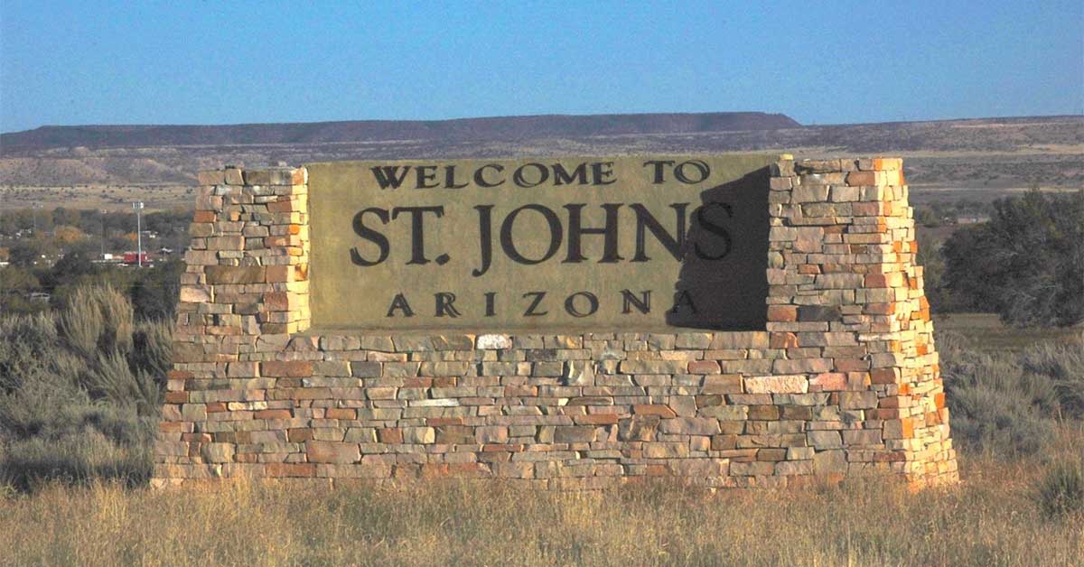
St. Johns Arizona
St. Johns Arizona: Southwest gem amid deserts & plateaus. Enjoy festivals, landmarks, & sunsets. Experience Arizona's tranquil charm.
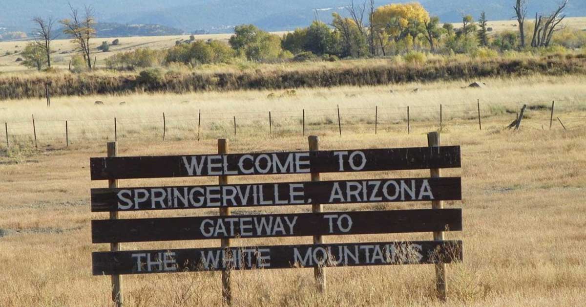
Springerville Arizona
Springerville Arizona: Discover its rich heritage, vibrant events, and natural beauty. A picturesque town that's a gateway to Arizona's breathtaking landscapes!

Snowflake Arizona
Snowflake Arizona: A town with historic charm in the heart of Arizona. Explore outdoor gems, local festivals, and the unique story behind its name!

Alpine Arizona
Alpine, Arizona: Amid majestic mountains & alpine forests. Enjoy hiking, pristine lakes & tranquility. Arizona's untouched natural splendor awaits!

Taylor Arizona
Taylor Arizona: A town rich in tradition, nestled in the White Mountains. Join in local festivities & savor Arizona's endearing charm!
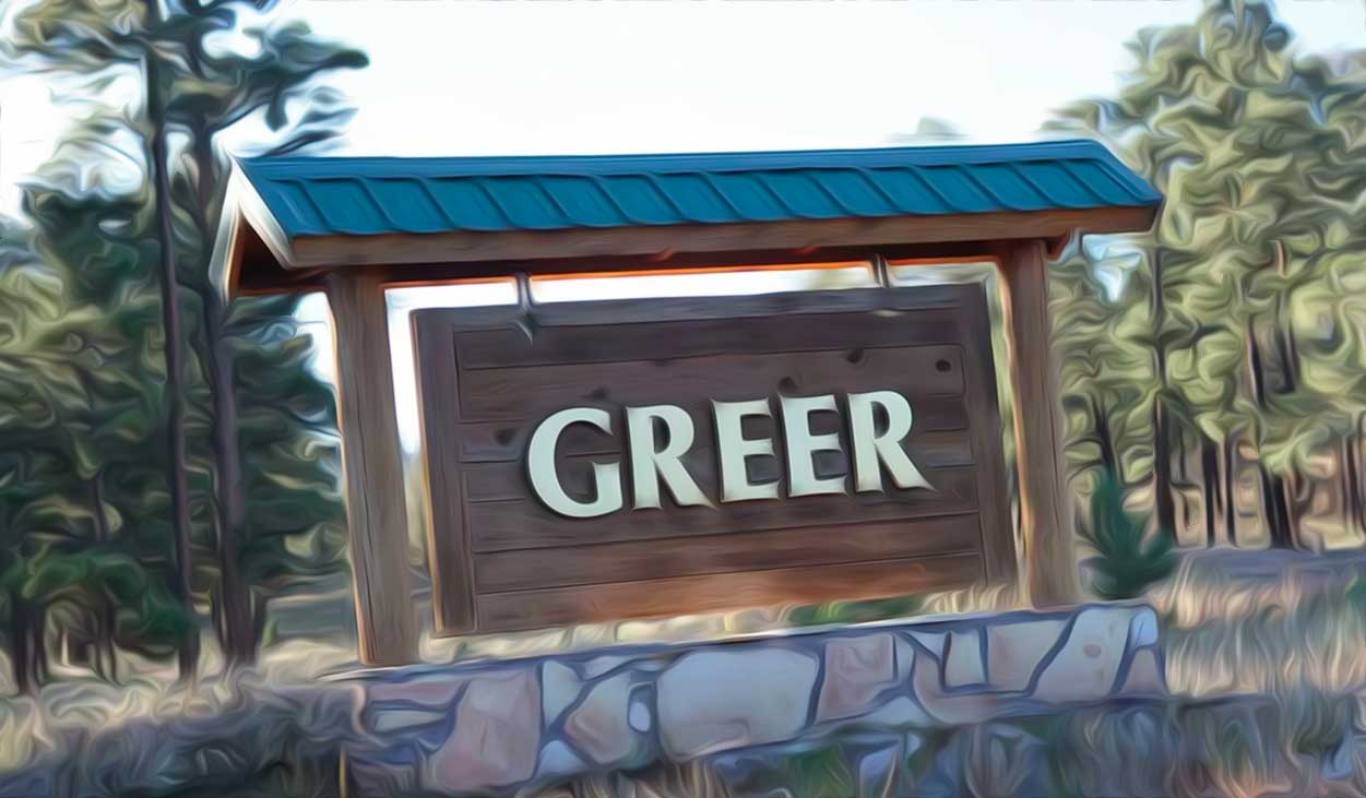
Greer Arizona
Greer Arizona: A haven in the White Mountains. Enjoy cool climates, clear rivers & outdoor adventures. Arizona's pristine mountain retreat!

Pinetop Lakeside Arizona
Pinetop Lakeside Arizona: An AZ favorite offering outdoor activities, from fishing to hiking. Experience Arizona's serene mountain-lake charm!